Category Archives: Lap of California 2014

Lap of California: Kayaking the Sacramento River – Redding to Ord Bend

image
Sundial Bridge
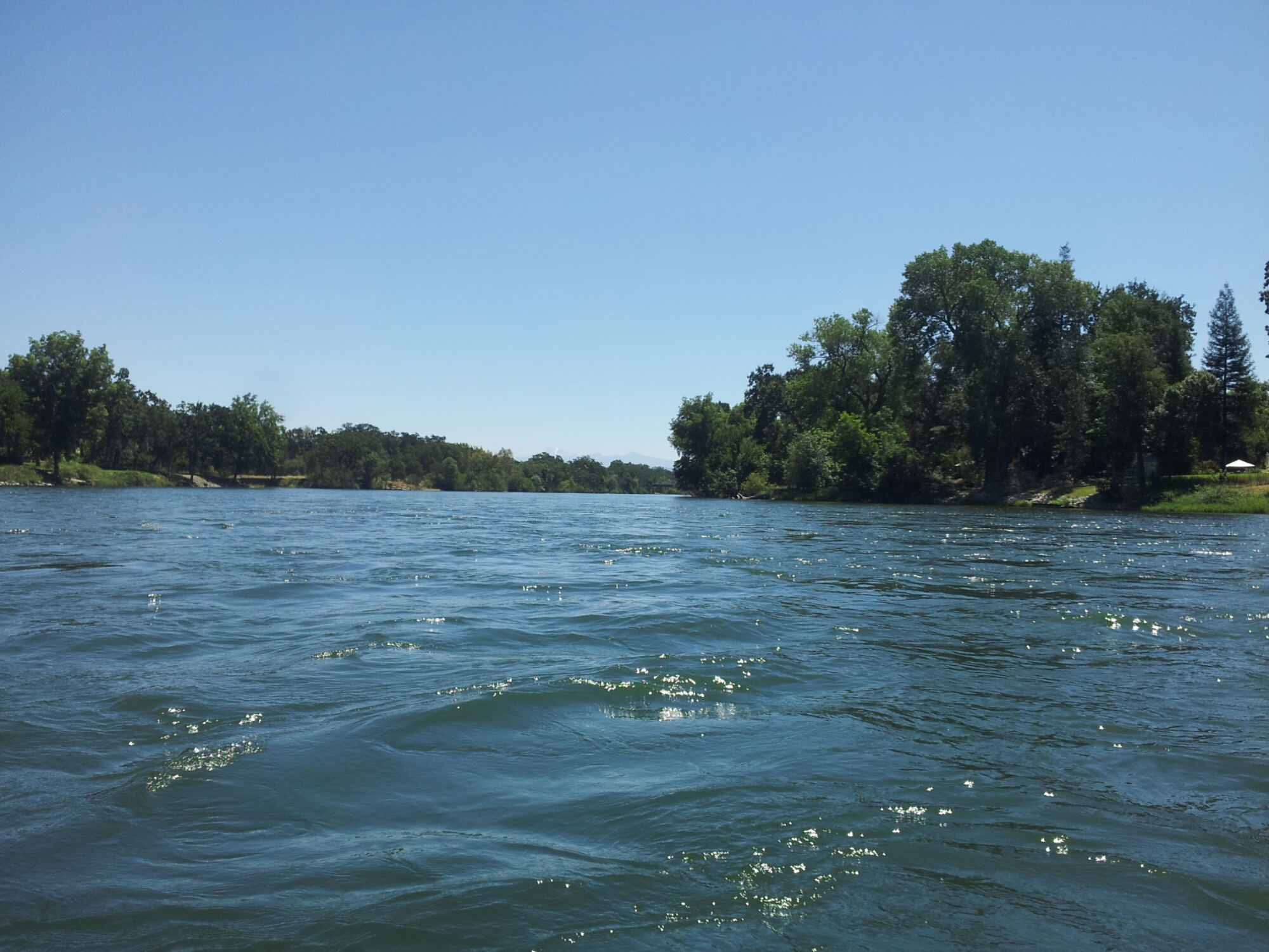
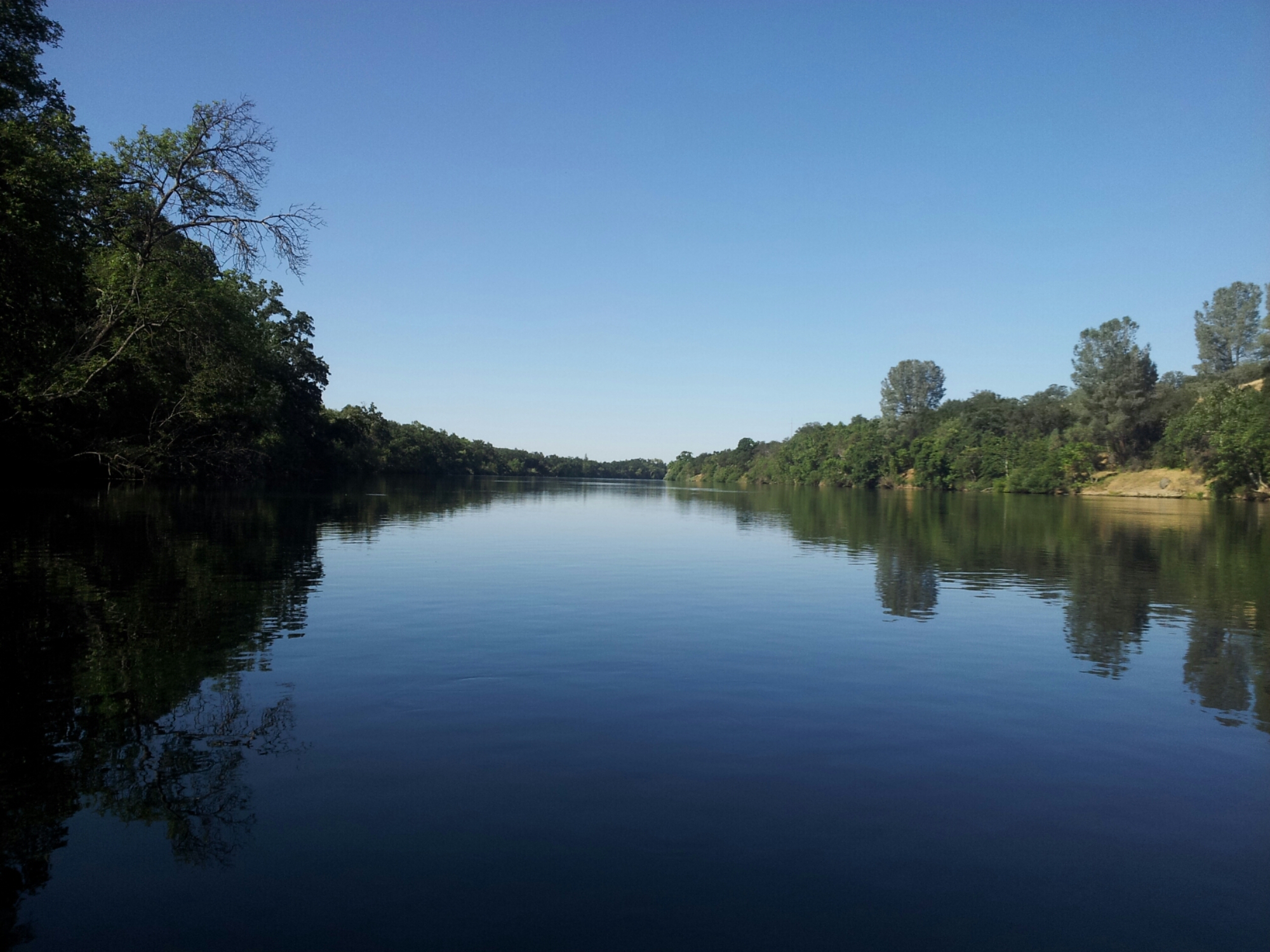
I assembled my kayak and launched it into the Sacramento River at the Turtle Bay Park boat ramp just above the Sundial Bridge in Redding on Monday 22 June 2015. The weather was warm, the water was cold, and the current was brisk. Rapids are frequent in the stretch of river between Redding and Red Bluff, and even with a late start I covered most of the distance to Red Bluff (about 45 of the 55 miles) on my first day.
The first few miles the Sacramento River runs through Redding, Anderson, and Cottonwood, and there are houses lining the banks. There are a few jet boats and drift boats on the water along this stretch. Then, after Jellies Ferry, the river swings to the east and the houses and boats disappear.
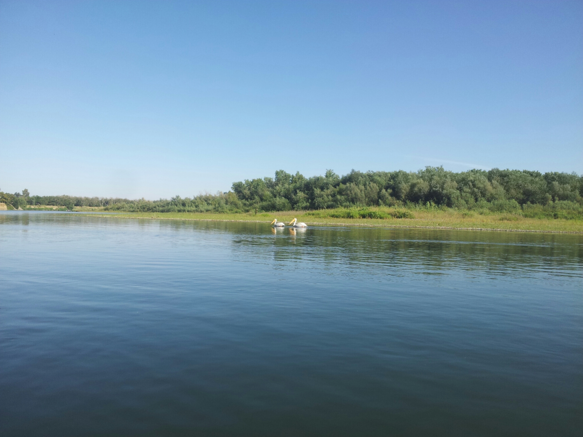
Birds and wildlife are more abundant and diverse.

image

image
Deer
The terrain changes from river canyon to volcanic rock strewn moonscape to savannah to forest. Frequently there is a view of Mt. Lassen or Mt. Shasta as the river (which in general runs south) turns east, west, and even north at times.

image

image

image

image

The first night I camped in beautiful Iron Canyon a few miles above Red Bluff. It is cut through the lava from past eruptions of Mt. Lassen. My phone battery was dead so I couldn’t take a photo as the river and canyon walls changed color as the sun set. With no lights nearby the stars were incredibly bright and appears to be nearer than usual. The only sounds were the river, bullfrogs, crickets, and distant coyotes.

The next morning I packed up and pushed off fairly early, hoping to stop in Red Bluff for a nice breakfast. It was a nice paddle through the the rest of Iron Canyon, then rolling hills just upstream of Red Bluff. I landed at Red Bluff River Park. None of the river parks look like real safe places to leave a loaded kayak, and that is especially true in this case. I dashed off looking for a nice breakfast, and all I got was a breakfast burrito at Taco Bell.

Not far below the river park is the Red Bluff diversion dam, which is now opened all year.

image
Red Bluff Diversion Dam
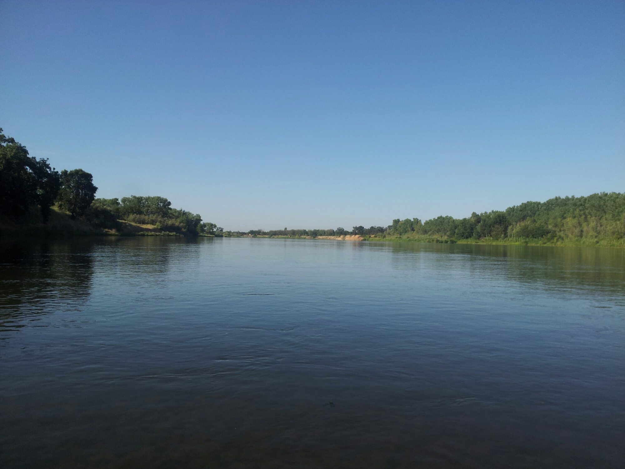
From here on the river passes through farmland and grassland. There are frequent sloughs and islands.

image

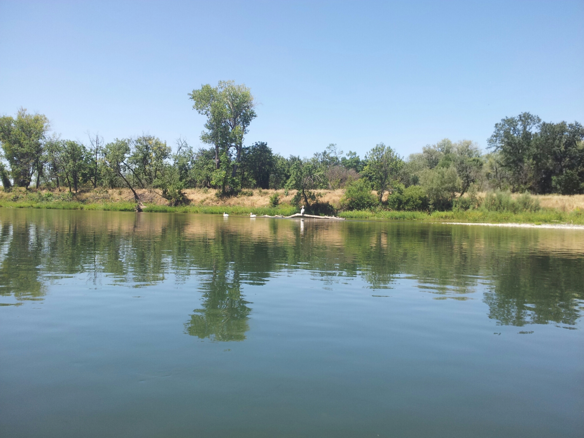
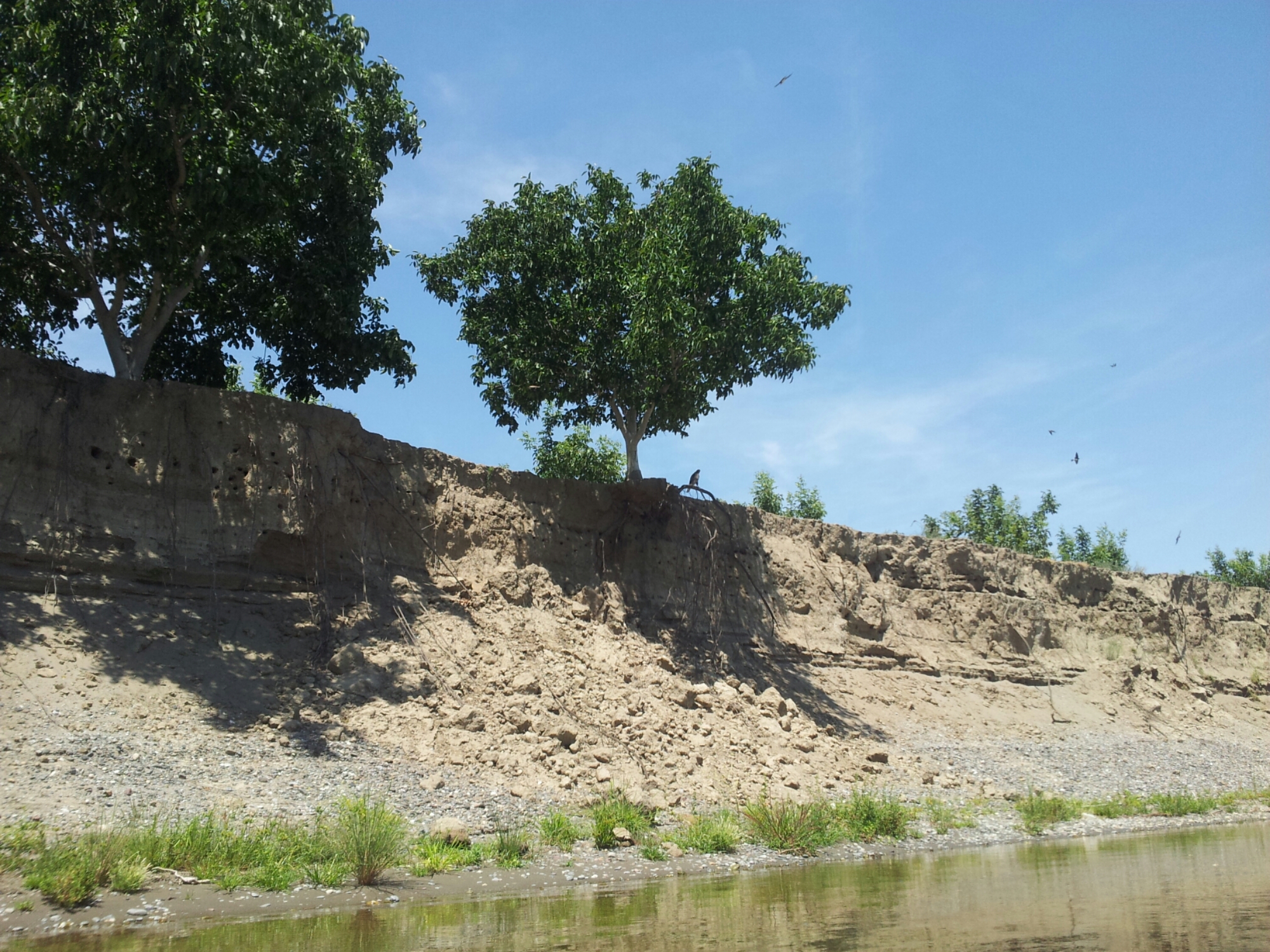
There is more wildlife than I expected south of Red Bluff, especially birds. Swallows build nests in the river banks and on bridges, and as you pass the colonies hundreds of them leave their nests and try to lead you away from the nests. There are herons and osprey looking for fish, and occasionally hawks and eagles. Sometimes you see beavers, and turtles slip into the water from logs as you approach.

image

image

I had planned to camp at Woodson Bridge but I went on the wrong side of the island and passed it. I tried to paddle back up on the other side of the island but the current was too strong (or I was too hot and tired), so I continued on. I found a nice camping spot on an island just below Capay.

The forecast was for very hot weather beginning on Thursday so I decided I would stop the next day at Ord Bend and continue on at a later date. Once again I was hoping for a nice breakfast, this time in Hamilton City, and I didn’t get it. I left my kayak at Irwin Finch River Access and walked around town, but could only find a gas station with a convenience store. I bought some water (I drank 9 liters in 2 days) and moved on.
image

image
Living on the Edge with Swallows
I made it to Ord Bend by early afternoon and packed up my boat.

Lap of California: The Mission Trail – San Francisco to Fremont

The Bal Theatre, San Leandro

On 17-18 November 2014, I walked the 26 miles from the ferry terminal at Harbor Bay to Mission San Jose in Fremont, mostly along Mission Blvd. The first section of the walk is through the light industrial area around the Oakland Airport. They were testing the new BART connector to the airport on the day I walked by.

Oakland Airport BART Connector

Walking  through San Leandro and Hayward is like traveling back to the 1950s. Emil Villa’s was one of my grandfather’s favorite BBQ places, and is still operating on Mission Blvd. From Hayward, the east side of Mission Blvd. is open space with good views of the East Bay hills.

East Bay Hills
East Bay Hills

Union City has a bit more of a muti-cultural feel.

Union City
Union City

In Fremont I detoured a block off of Mission to walk through the Niles district. Fatty Arbuckle and Charlie Chaplin made movies at a studio in Niles in the early 20th century.

Niles
Niles

Mission San Jose is in a residential are of Fremont – it is not the most scenic location.


Mission San Jose
Mission San Jose

Lap of California: The Mission Trail – San Rafael to San Francisco

On 10 October 2014 I walked the Mission Trail from San Rafael to San Francisco while my car was in the shop. I walked from my mechanic’s shop at Post and Leavenworth in San Francisco to the Ferry Building and took the ferry to Larkspur. Then I walked to Mission San Rafael, back to the Larkspur Ferry, and took the ferry back to San Francisco.

I had lunch at the Ferry Building, walked down Market St. to Mission Dolores, then walked back to pick-up my car.

Lap of California: The Mission Trail – Sonoma to San Rafael

Monday I took the bus from Petaluma to Sonoma. I had breakfast while waiting for the Mission to open at 10 a.m.

Mission San Francisco Solano de Sonoma

I bought a credential at the gift shop and then started walking back to Petaluma, the first stop on my way to Mission San Rafael. Here is a map of my route.


El Camino Real Route Marker
Bucolic Scene
Bucolic Scene

Wednesday I walked from Petaluma to Novato.


Wildflowers
Wildflowers
Oaks
Oaks
See the Buck
See the Buck

And Thursday I walked from Novato to San Rafael.

Mission San Rafael Arcangel